by Bewelge
Nautical Map
IPFS
18 January 2022•TEZOS•IPFS
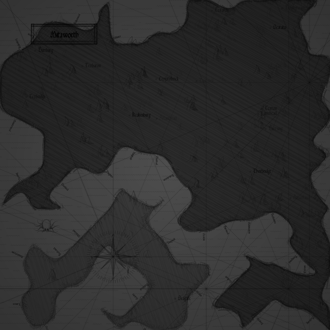
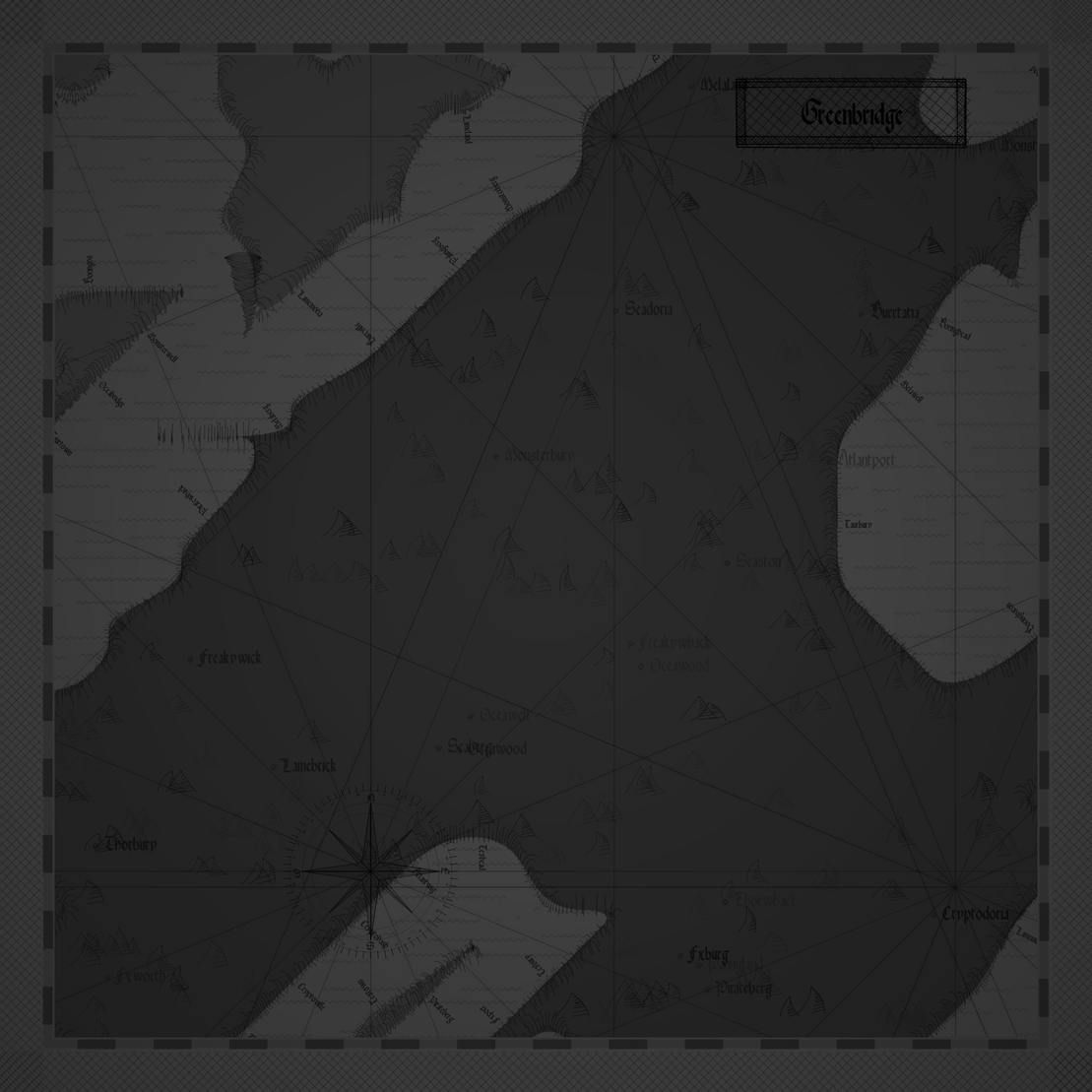
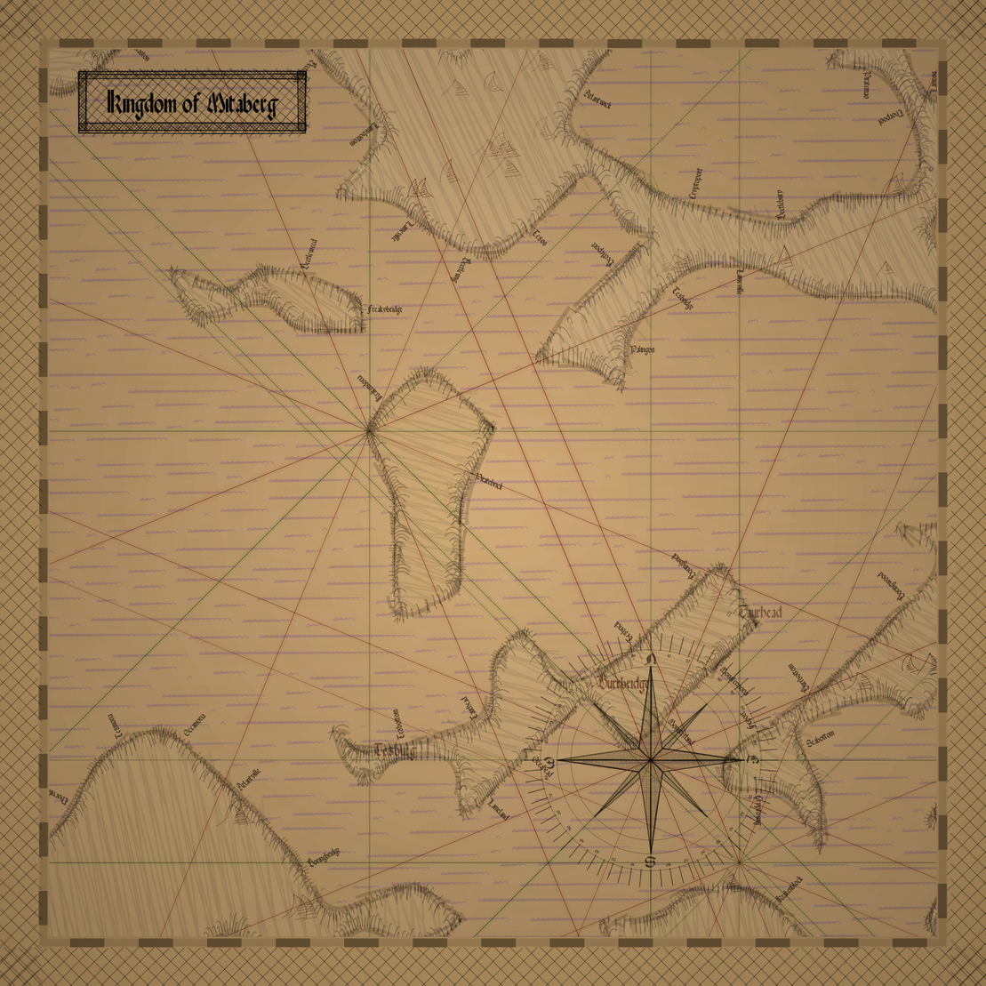
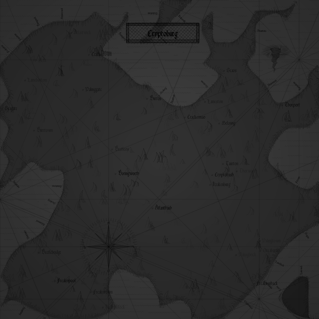
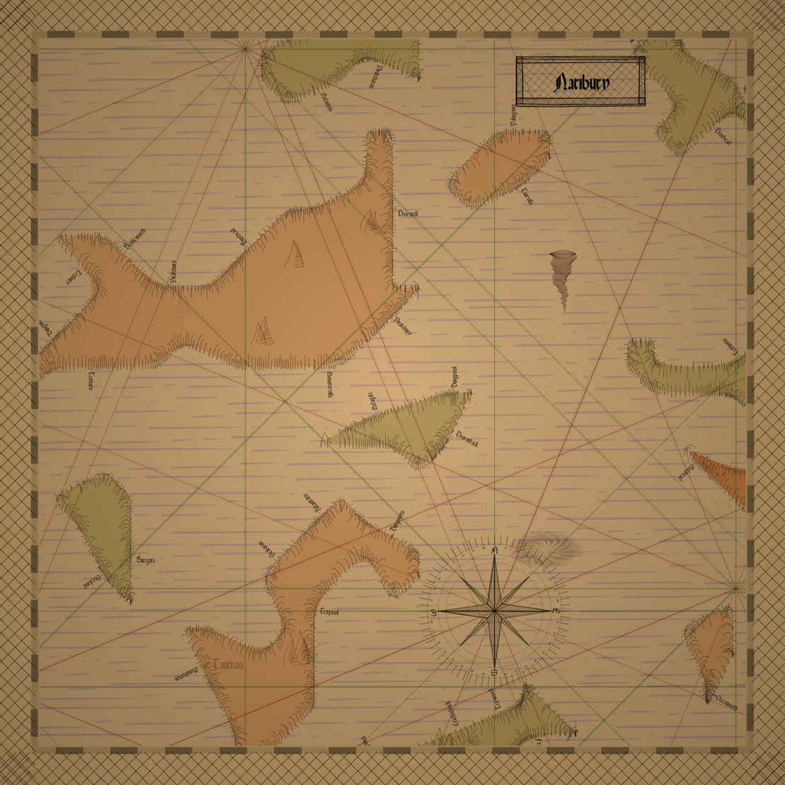
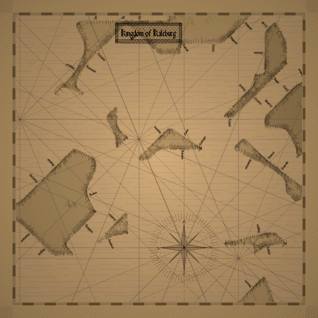
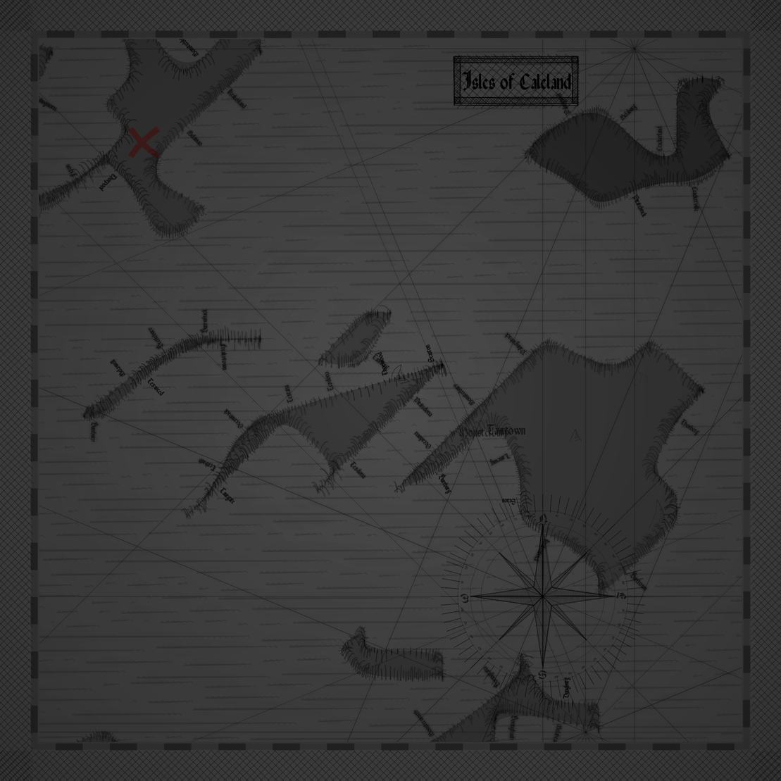
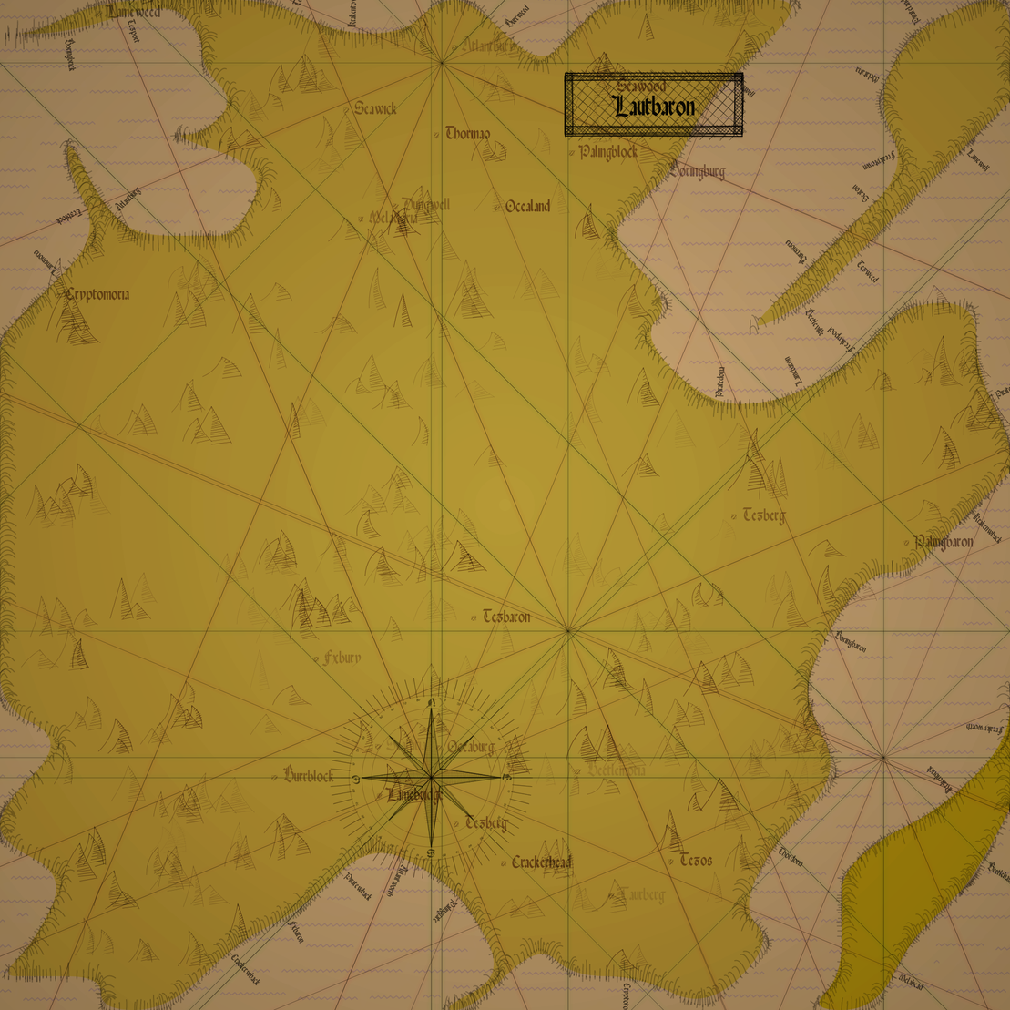
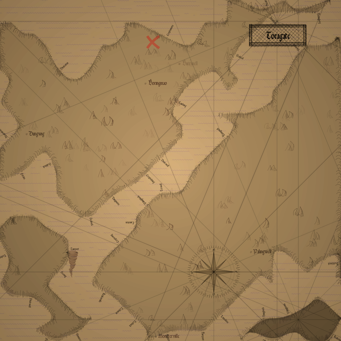
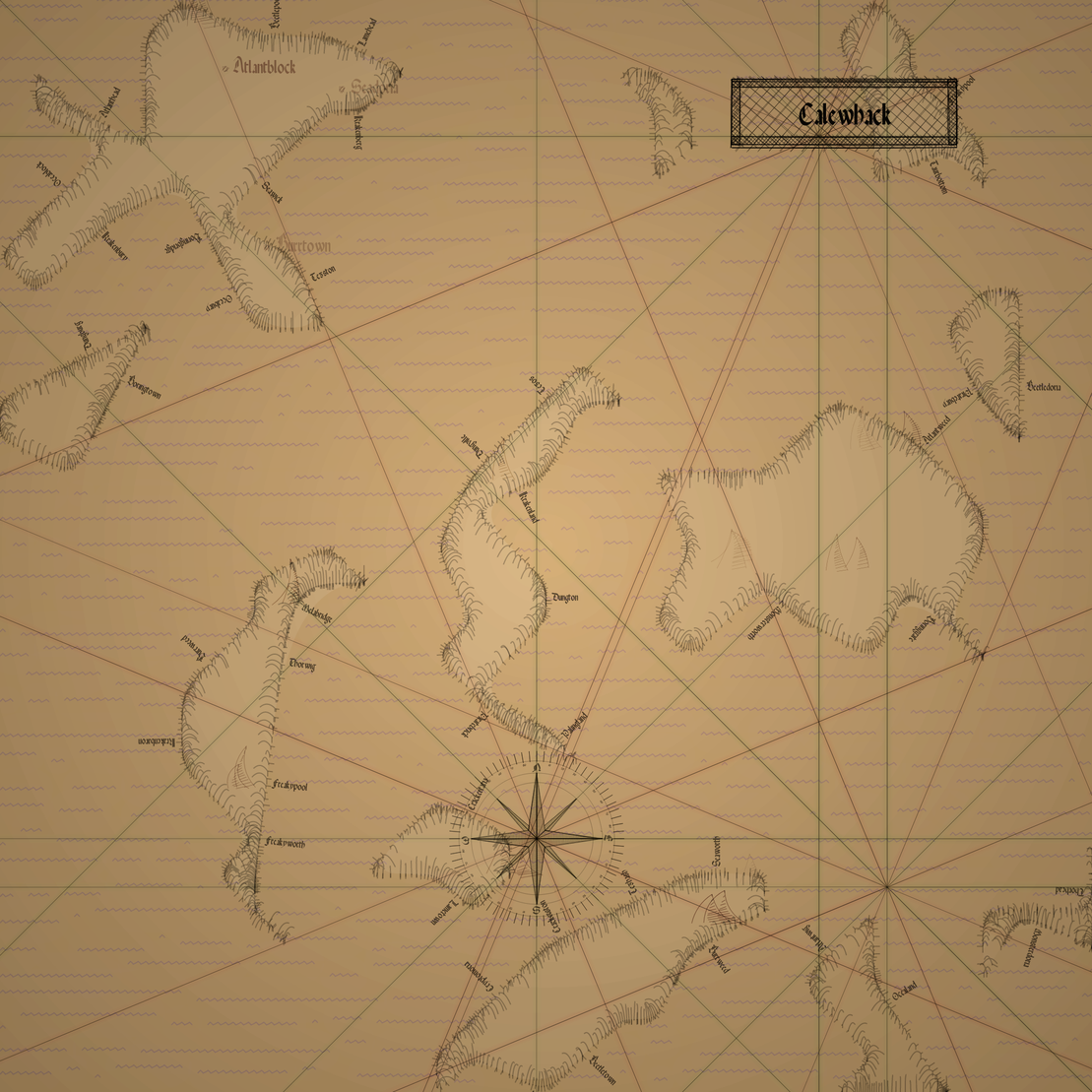
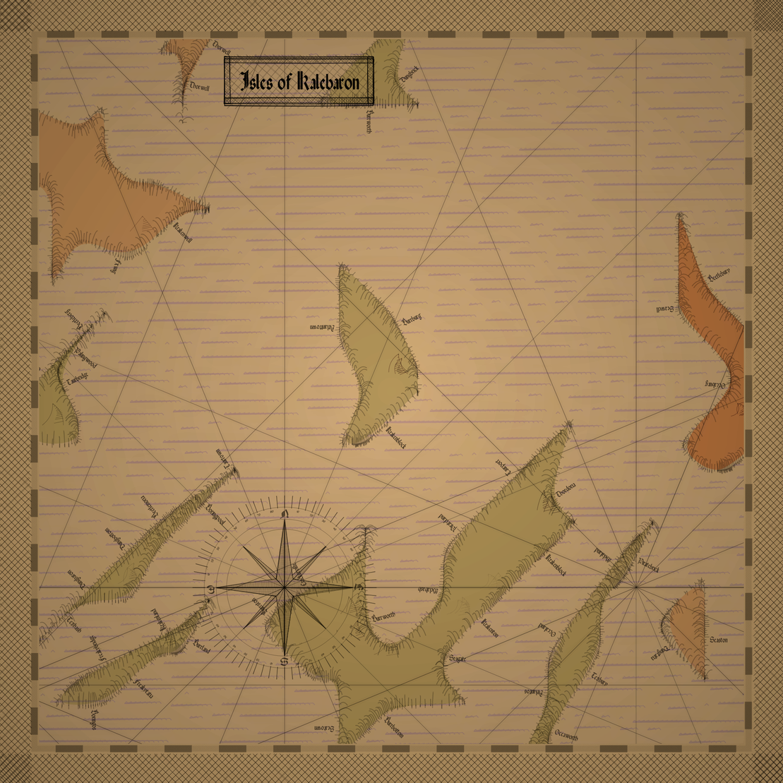
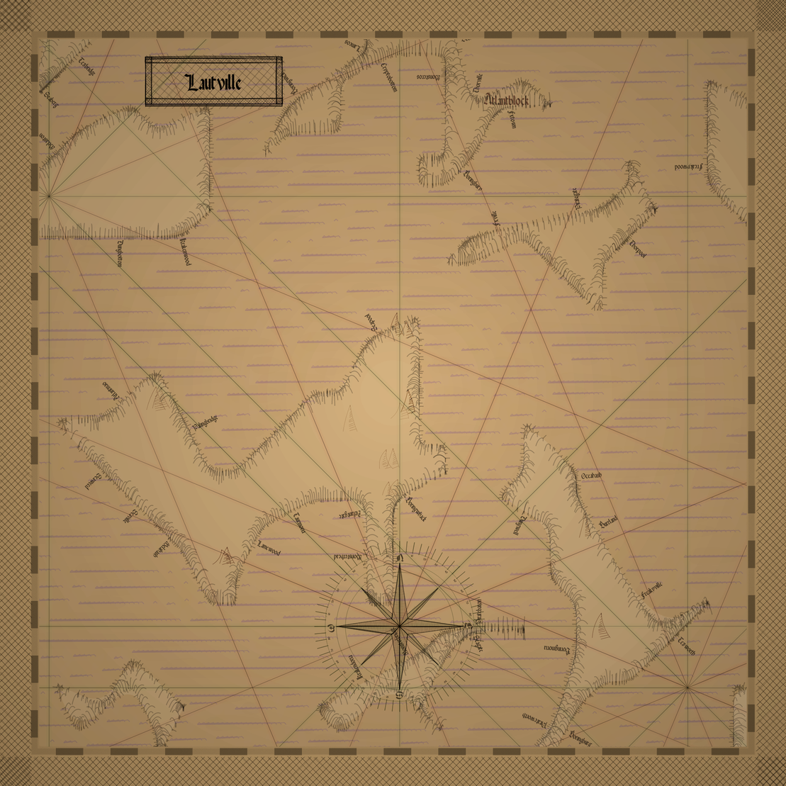
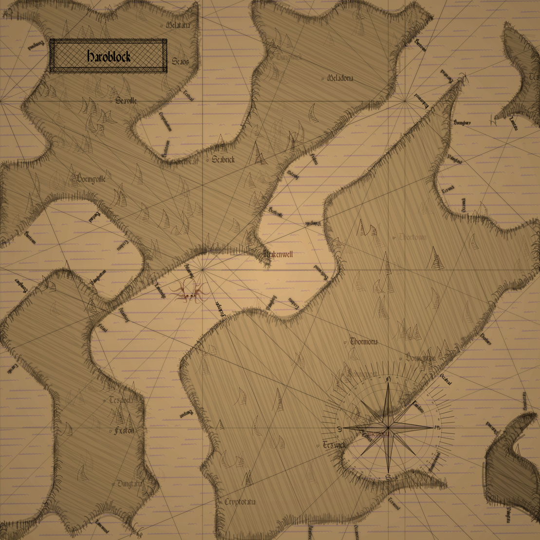
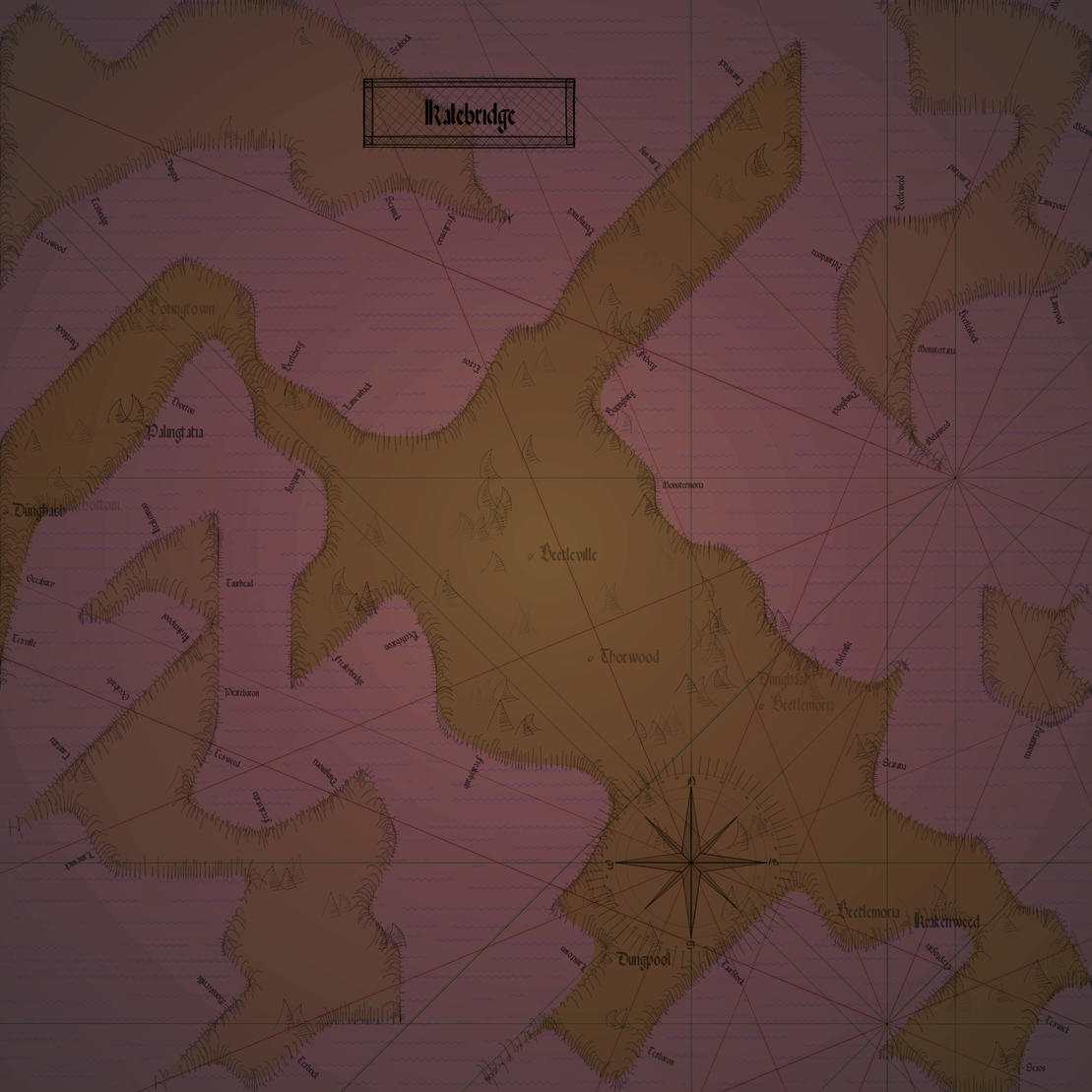
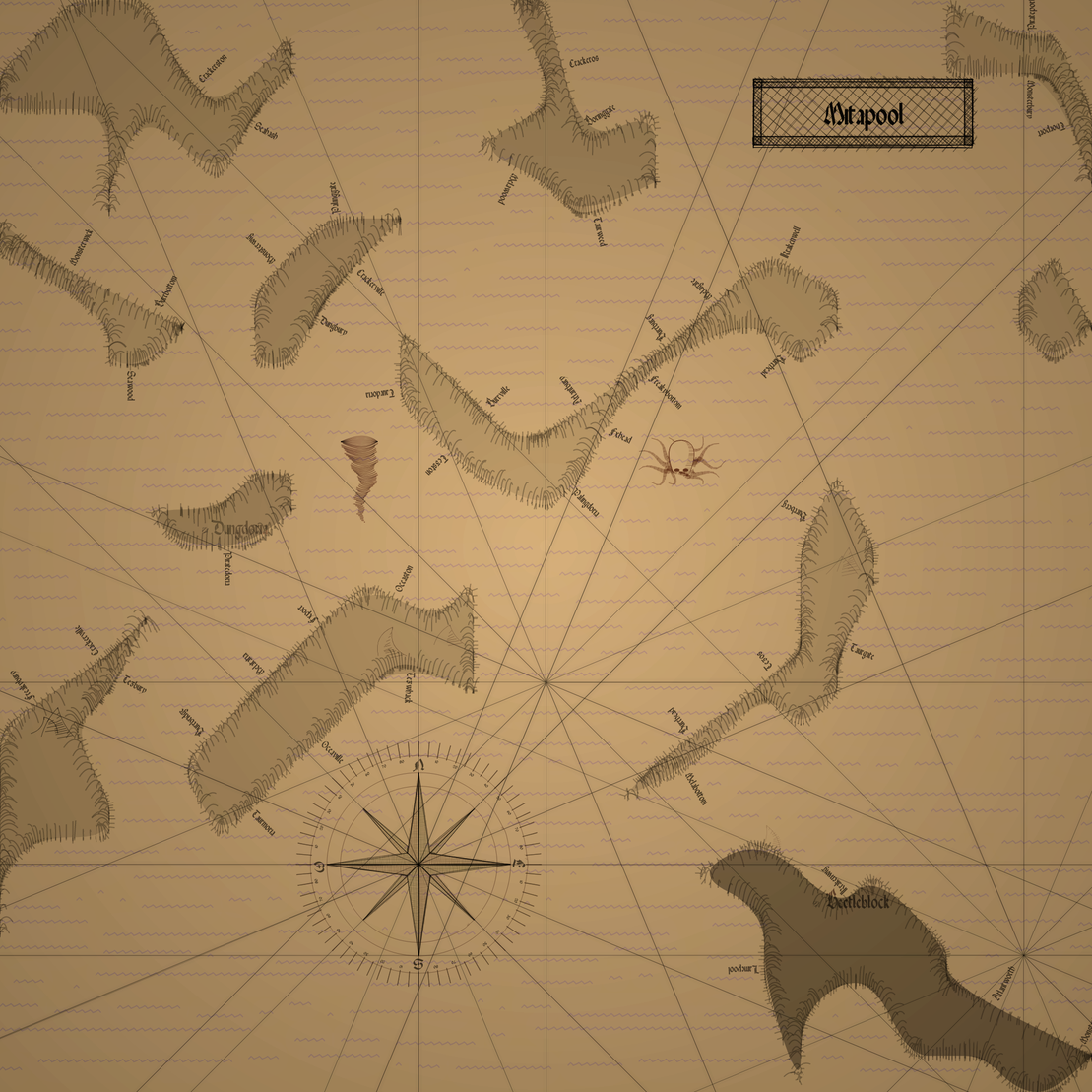
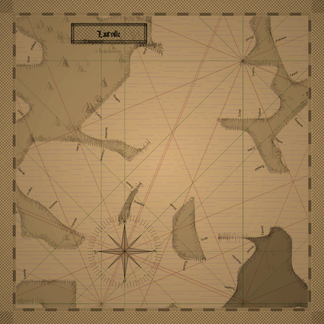
Procedurally generated maps inspired by old portolan charts.
These nautical maps were first created mapping the Mediterranean in the 13th century and were based on rhumb-line networks.
The compass lines are supposed to be lines of constant bearing at sea but were often inaccurate.
This is my attempt at capturing the chaotic look of these old handdrawn charts using mainly simple strokes and lines.
Everything apart from the ship and the frame is drawn using simple canvas operations.
Features:
5 Color sets
Land Fill: Zigzag or solid
Water fill
Colored coasts
Framed
Kraken
Maelstrom
Typhoon
Further, the island amount and shapes, the look of the mountains, compass, city and map names, type of waves and the rhumb network are randomized in each iteration.
Some features may not appear if there is not enough water available.
Previews may look slightly different.
S to save
Space to pause
Resources:
rough.js
hull.js
opentype.js
https://github.com/ctrlcctrlv/QuaeriteRegnumDei
Software developer from Germany with an interest in gamedev, webdev, procedural art and whatever else catches my attention.
16 EDITIONS
•0 RESERVES
minted
16 / 16
fixed price
3 TEZ
Lorem ipsum project longer longer
0.00001 ETH
Lorem ipsum project longer longer
0.00001 ETH
Lorem ipsum project longer longer
0.00001 ETH
Lorem ipsum project longer longer
0.00001 ETH
Lorem ipsum project longer longer
0.00001 ETH
Lorem ipsum project longer longer
0.00001 ETH
Lorem ipsum project longer longer
0.00001 ETH
Lorem ipsum project longer longer
0.00001 ETH
Lorem ipsum project longer longer
0.00001 ETH
Lorem ipsum project longer longer
0.00001 ETH
Lorem ipsum project longer longer
0.00001 ETH
Lorem ipsum project longer longer
0.00001 ETH
Lorem ipsum project longer longer
0.00001 ETH
Lorem ipsum project longer longer
0.00001 ETH
Lorem ipsum project longer longer
0.00001 ETH
Lorem ipsum project longer longer
0.00001 ETH
Lorem ipsum project longer longer
0.00001 ETH
Lorem ipsum project longer longer
0.00001 ETH
Lorem ipsum project longer longer
0.00001 ETH
Lorem ipsum project longer longer
0.00001 ETH
Lorem ipsum project longer longer
0.00001 ETH
Lorem ipsum project longer longer
0.00001 ETH
Lorem ipsum project longer longer
0.00001 ETH
Lorem ipsum project longer longer
0.00001 ETH
